Rock Harbor seawall repair planning
Distinguish the public breakwater and canal-restoration systems from the private wall, and use the correct canal number around MM 95.
Describe your project on this page ↓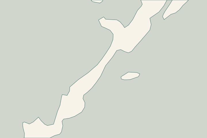
Get to know your waterfront
This Rock Harbor guide focuses on the oceanside canals around mile marker 95, including the Grouper Lane, Cuda Lane, and Lobster Lane area. County records distinguish a public breakwater project from work inside individual canals. For a homeowner, those are important boundaries: improving a canal entrance or its water quality does not establish the condition of the private seawall holding the yard in place.
Rock Harbor breakwater repair · Monroe County annual report 2023 · Canal restoration: DEP stewardship projects 2024–2025 · Residential canals: road names and areas · Residential canals geographic data (KMZ)
Separate the wall, canal bottom, and breakwater
Start a Rock Harbor inquiry with the street and canal number. The county associates nearby roads with different canals, and its restoration records describe different scopes. A contractor researching canal 84 should not assume the same work occurred at canal 82 or at every property described as Rock Harbor. Residential canals: road names and areas
There are three separate assets to understand: the private wall retaining the lot, the canal bottom, and the shared entrance barrier. The county’s canal 84 work addressed water quality through organic removal and backfilling. Its breakwater project addresses a jetty and weed gate. Neither project record is an inspection of your cap, panels, tiebacks, or retained soil. Monroe County annual report 2023 Rock Harbor breakwater repair
Ask the assessor to photograph the visible wall, measure any movement, and state whether an underwater inspection or updated bottom survey is needed for the proposed work. If equipment will enter from the water, request a route and staging plan that accounts for current entrance controls and public work.
The August 2026 notice is a useful contact trail, not a live construction schedule. Confirm current access and the responsible project contact before mobilization. A clear proposal identifies which private elements will be repaired, what remains under shared or public control, and who obtains permission for any use of those areas. Rock Harbor breakwater repair
What could the work cost?
Rock Harbor bids should distinguish structural repair, underwater assessment, and equipment access from any public canal or breakwater work. Historical canal-restoration budgets are not unit prices for a private seawall. If entrance controls affect mobilization, ask for that allowance and the party responsible for coordinating access in writing.
Published Florida starting ranges, with the source area shown. Your Key Largo project needs a site-specific written quote.
Compare quotes and plan a budget →Find the relevant permits and records
| Starting point | What to resolve | Prepare and look up |
|---|---|---|
Monroe County Building Department — Key Largo office | Confirm the parcel, complete marine scope and local review route. | Bring the survey, existing permits, proposed drawings and access plan. |
Environmental and federal review | Resolve in-water work, habitat, submerged lands and sanctuary requirements. | Use one complete scope to confirm the DEP, Corps and sanctuary authorizations that apply. |
Match the wall to the correct canal
Use these local records to prepare a property-specific discussion with your designer and the responsible authority.
Match the address to a canal
Use the county street lookup and canal map before researching project history or requesting a quote.
Residential canals: road names and areas · Residential canals geographic data (KMZ)
Check the right public project
Review canal 82 or 84 records as applicable and the separate breakwater page. Confirm the current status with the county.
Canal restoration: DEP stewardship projects 2024–2025 · Monroe County annual report 2023 · Rock Harbor breakwater repair
Define access and ownership
Have the proposal identify the private wall limits and any entrance or shared infrastructure the contractor expects to use.
Prepare your Rock Harbor project
Start with the address, visible changes and records you have. Separate observations from questions that need a site assessment.
Start with your concern. We’ll help you find a clear next step for your seawall.
Rock Harbor project questions
Did Rock Harbor’s canal restoration replace private seawalls?
The cited canal 84 record describes organic removal and backfilling for water quality. It is not evidence that a particular private seawall was inspected, repaired, or replaced.
Is a Rock Harbor weed-gate repair the same project as my seawall repair?
No. The county describes a public jetty and weed-gate scope. A private proposal needs its own wall assessment, ownership limits, access arrangements, and permit review.
Which canal is beside Grouper Lane?
The county lookup lists both canals 83 and 84 for Grouper Lane. Check the mapped parcel frontage to determine which record applies.
Keep planning
Nearby waterfront guides
Show sourcesHide sources
- Rock Harbor breakwater repairSource reviewed 2026-10-25
- Monroe County annual report 2023Source reviewed 2026-10-25
- Canal restoration: DEP stewardship projects 2024–2025Source reviewed 2026-10-25
- Residential canals: road names and areasSource reviewed 2026-10-25
- Residential canals geographic data (KMZ)Source reviewed 2026-10-25
- Monroe County Building and PermittingSource reviewed 2026-10-25
- DEP Southeast District Marathon branchSource reviewed 2026-10-25
- Florida Keys sanctuary nearshore constructionSource reviewed 2026-10-25