Choose a researched neighborhood or island. Nearby names can share a shoreline while differing in drainage, habitat, access and permit authority.
Find your waterfront
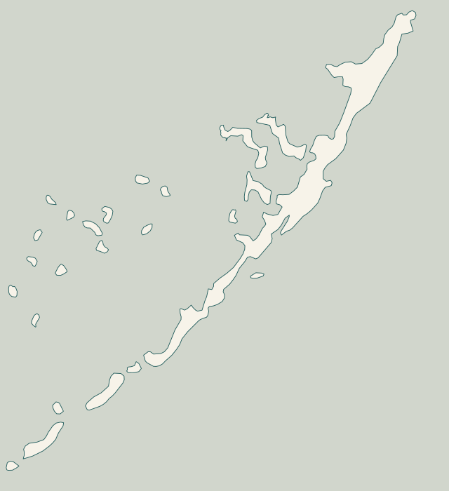
Explore the coast. Find your starting point.
From North Key Largo to Lower Matecumbe, local records and permit paths change. Choose a community to prepare your project.
Full local guide
Choose a label to open local resources →Tap a community on the map or below ↗
Land: Florida Fish and Wildlife Conservation Commission, Florida Counties 0522 shoreline. Points: documented road and place references. Reviewed October 25, 2026. General orientation only; not a survey, navigation chart, habitat map or service boundary.
Your local starting point
Find your community.
Choose a guide for local maps, permit starting points and the records to gather for your property.
Compare canal flooding with road and yard drainage. Gather a consistent elevation survey and the current road-project details before choosing the private repair.
Review proposed drainage easements and driveway transitions before placing equipment or adding fill. Use current project information alongside the wall assessment.
Distinguish the private wall from canal-bottom and breakwater projects. Confirm the exact canal, current entrance access and the private work boundary.
Use canal 90’s restoration history where it actually applies. Check today’s bottom conditions and equipment route before pricing work at the wall or dock.
Evaluate the marine approach, shoreline type and staging limits. An equipment route must suit present conditions as well as the work beside the property.
Coordinate private-community approval with government permits. Check the applicable work window and equipment access before committing to the construction schedule.
Identify which canal-restoration system serves the frontage. Check current habitat and infrastructure while assessing the private wall as a separate structure.
Match the proposal to a beach, canal or mangrove edge. Review parcel-specific habitat and access constraints rather than applying one island-wide repair approach.
Distinguish canal-bottom restoration from ground behind a seawall. Check the approach, existing equipment and any beach or habitat constraints at your property.